Recreational boater survey
Limits of Acceptable Change Study surveys in the Northeast Reserves and Culebra Island, Puerto Rico
2018_12_13 Recreational boater survey
Registered recreational vessels
OMB: 0648-0775
Registered vessel operator survey. Survey number______ Date________________
Privacy Act Statement
Authority: The collection of this information is authorized under the Coral Reef Conservation Act (P.L. 106-562).
Purpose: Stakeholder use information, as related to frequency and areas of use, views on area conditions, and perceptions concerning congestion are needed to determine limits of acceptable change (LAC) in Puerto Rico’s Northeastern Marine Corridor (Northeast Reserves and Culebra Island), which can be used to strengthen conservation of the area’s coral reef and related ecosystems.
NOAA Routine Uses: NOAA will use this information to gather information from main stakeholders in the Northeast Marine Corridor of Puerto Rico. Disclosure of this information is permitted under the Privacy Act of 1974 (5 U.S.C. Section 552a) to be shared among NOAA staff for work-related purposes. Disclosure of this information is also subject to all of the published routine uses as identified in the Privacy Act System of Records Notices COMMERCE/NOAA-6, Fishermen’s Statistical Data and COMMERCE/NOAA-11, Contact Information for Members of the Public Requesting or Providing Information Related to NOAA's Mission.
Disclosure: Furnishing this information is voluntary; however, failure to participate in the survey will result in less information to support the conservation and management goals of the Coral Reef Conservation Program.
OMB Control No.: 0648-xxxx
Date of expiration: XX/XX/20XX
Public reporting burden for this collection of information is estimated to average 10 minutes/hours per response, including the time for reviewing instructions, searching existing data sources, gathering and maintaining the data needed, and completing and reviewing the collection of information. Send comments regarding this burden estimate or any other suggestions for reducing this burden to (CHRISTOPHER JEFFREY), NOAA NOS, (1305 East West Highway, Rm #9213, N/SCI-1, Silver Spring, MD 20910 USA).
Everything we discuss will be protected. When we complete our interviews and other work, we will write a report that summarizes everything we have learned. We will not use people’s names in our reports, or write about anything that is sensitive.
Notwithstanding any other provisions of the law, no person is required to respond to, nor shall any person be subjected to a penalty for failure to comply with, a collection of information subject to the requirements of the Paperwork Reduction Act, unless that collection of information displays a currently valid OMB Control Number.
What is your home zip code? ______________________
What is your primary port from where you take out your vessel?________________
Do you have secondary port? ____________________
Which of the following includes your age?
[ ] Less than 18 [ ] 18-30 [ ] 31-40 [ ] 41-50 [ ] 51-60
[ ] More than 60
For how many years have you had a vessel in Puerto Rico?
[ ] Less than a year [ ] 1- 5 [ ] 6-10 [ ] 11-15 [ ] 16-20
[ ] More than 20 years
What type of vessel do you use (primary vessel)?
Sailboat Motorboat Catamaran Other___________
How long is your primary vessel? ________ feet
How many horsepower does your primary vessel have? ________hp
How many times per month do you use your vessel?
Weekdays per month (0-22 days) ___________________
Weekend days per month (between 0-8 days) ________________
How long is a typical trip (from port to back to port)? __________hours
How many persons usually go on a typical trip (including yourself)?
[ ] Me alone [ ] 2 [ ] 3 [ ] 4 [ ] 5 [ ] 6 [ ] 7 [ ] more than 7
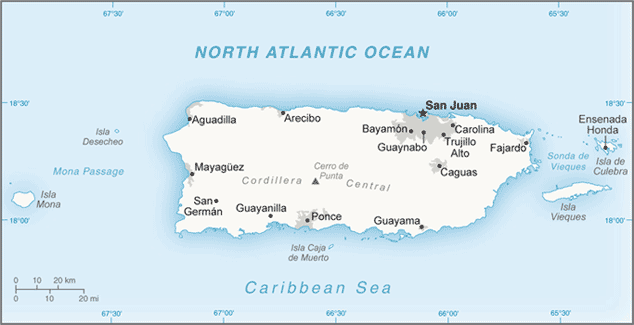
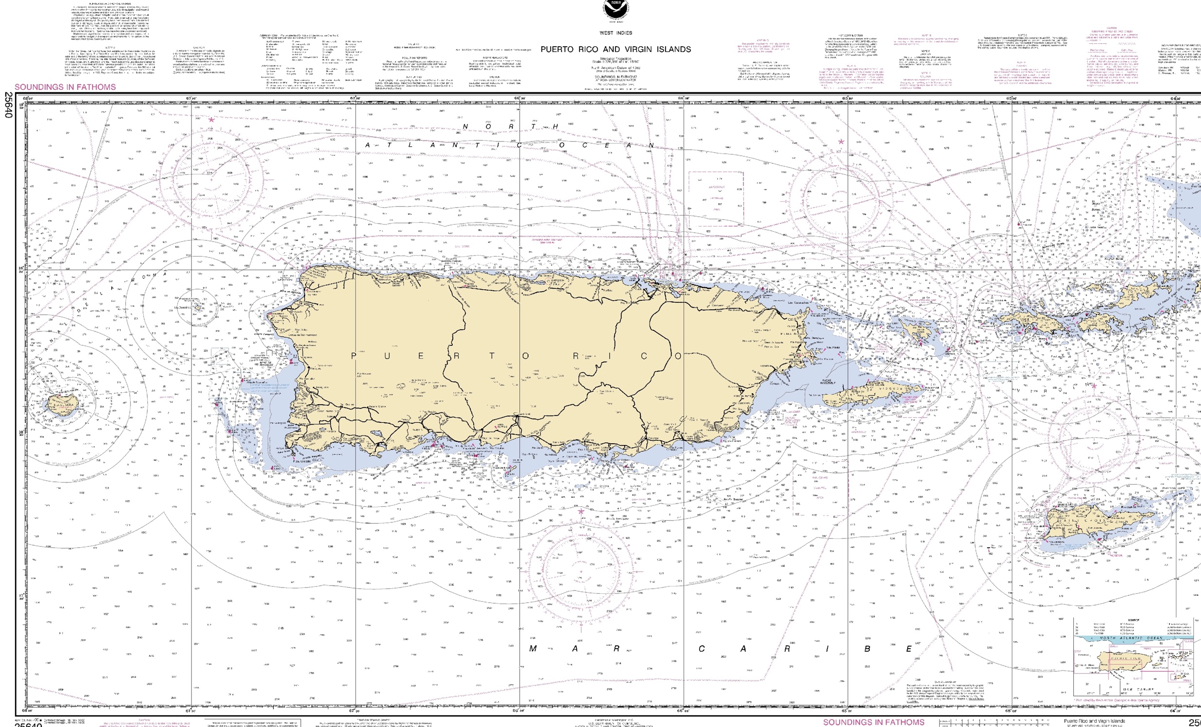
Please refer to the following map for the zones (areas) used by vessel type to provide percentages of trips taken to each area per year.
Area 1 – Aguadilla to Rio Grande
Area 2 – Rio Grande to the northeast, north of Fajardo to Culebra
Area 3 – Rio Grande to the east, including all shallow platform/shelf waters east and south of Culebra
Area 4 – south of Fajardo to Maunabo, including Vieques and other points east
Area 5 – Manuabo to the west to Ponce
Area 6 – Ponce to the west to Cabo Rojo
Area 7 – Cabo Rojo to the north to Aguadilla
1
7
6
5
4
3
2


Area 1: _________% Area 2: _________%
Area 3: _________% Area 4: _________%
Area 5: _________% Area 6: _________%
Area 7: _________%
What are the crowding/space conditions in the area where you take a majority of your trip?
[ ] Very crowded – Little to no space for my activities
[ ] Moderately crowded – Little space for my activities
[ ] Normal
[ ] Minimally crowded – lots of space for my activities
[ ] Not crowded at all – all the space needed for my activities
Please estimate how often you participate in the following activities per trip.
Activity |
Always, every trip |
Most trips |
Half of the trips |
Few trips |
Never |
Line fishing |
|
|
|
|
|
Spearfishing |
|
|
|
|
|
Diving |
|
|
|
|
|
Snorkeling |
|
|
|
|
|
Swimming |
|
|
|
|
|
Waterskiing |
|
|
|
|
|
Cruising |
|
|
|
|
|
Visiting beaches |
|
|
|
|
|
Other ______________ |
|
|
|
|
|
In those activities in which you participate, how many other vessels do you see around you/next to you on a typical trip?
Activity |
1-5 |
6-10 |
11-15 |
16-20 |
21-30 |
26-30 |
Mas que 30 |
Line fishing |
|
|
|
|
|
|
|
Spearfishing |
|
|
|
|
|
|
|
Diving |
|
|
|
|
|
|
|
Snorkeling |
|
|
|
|
|
|
|
Swimming |
|
|
|
|
|
|
|
Waterskiing |
|
|
|
|
|
|
|
Cruising |
|
|
|
|
|
|
|
Visiting beaches |
|
|
|
|
|
|
|
Other ____________ |
|
|
|
|
|
|
|
What is the MAXIMUM number of other vessels/users that you tolerate around you when participating in the following activities before leaving to find another location?
Activity |
Number of vessels |
Number of users |
Line fishing |
|
|
Spearfishing |
|
|
Diving |
|
|
Snorkeling |
|
|
Swimming |
|
|
Waterskiing |
|
|
Cruising |
|
|
Visiting beaches |
|
|
Other ______________ |
|
|
What is the condition of the following resources/experiences in the areas that you visit for a majority of your trips? Please rate all resources that apply.
Factor |
High impact |
Moderate impact |
Some impact |
Low impact |
No impact at all |
Number of other vessels in the area |
|
|
|
|
|
Number of other users/persons in the area |
|
|
|
|
|
Behavior/etiquette of other vessels |
|
|
|
|
|
Music, sound from other vessels |
|
|
|
|
|
Waste/garbage from other vessels |
|
|
|
|
|
How do the following factors affect the quality of a typical trip?Resource/experience
Excellent
Good
Fair/neutral
Poor
Very poor
Water clarity
Marine life diversity
Marine life size
Marine life abundance
Coral reef abundance and diversity
Coral health
Beach quality
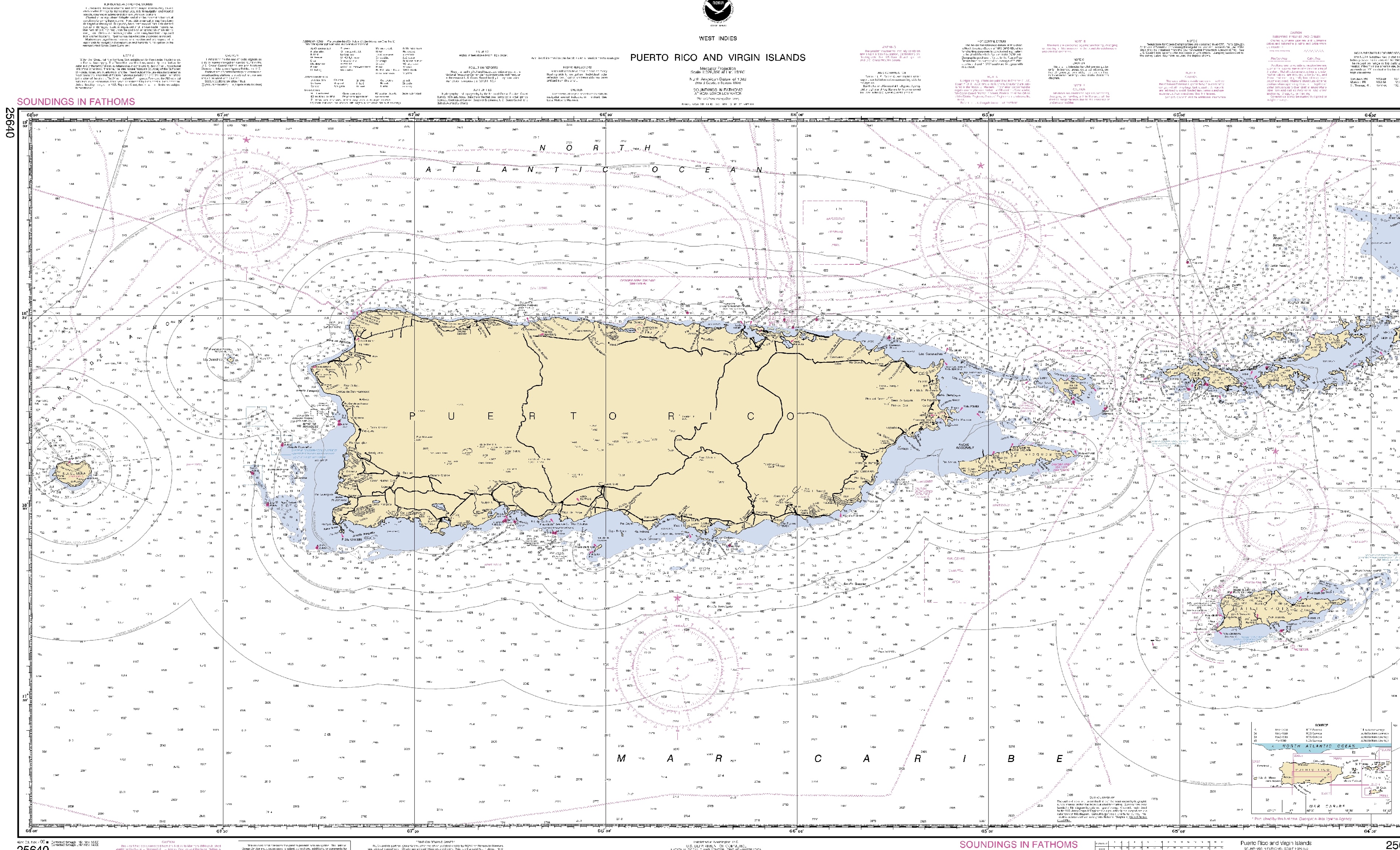
Using the map below, please identify the areas related to a typical trip, marking O for your primary port and X for the areas visited.

San Juan
Culebra
Vieques


If you use the areas shown below (northeastern Puerto Rico), please identify the areas that you use for the following activities:
Cruising Snorkeling Diving Visiting beaches Line fishing Spearfishing

| File Type | application/vnd.openxmlformats-officedocument.wordprocessingml.document |
| Author | Somak Shivlani |
| File Modified | 0000-00-00 |
| File Created | 2021-01-20 |
© 2026 OMB.report | Privacy Policy