GOES-East - Continental U.S. (CONUS) - NOAA / NESDIS / STAR
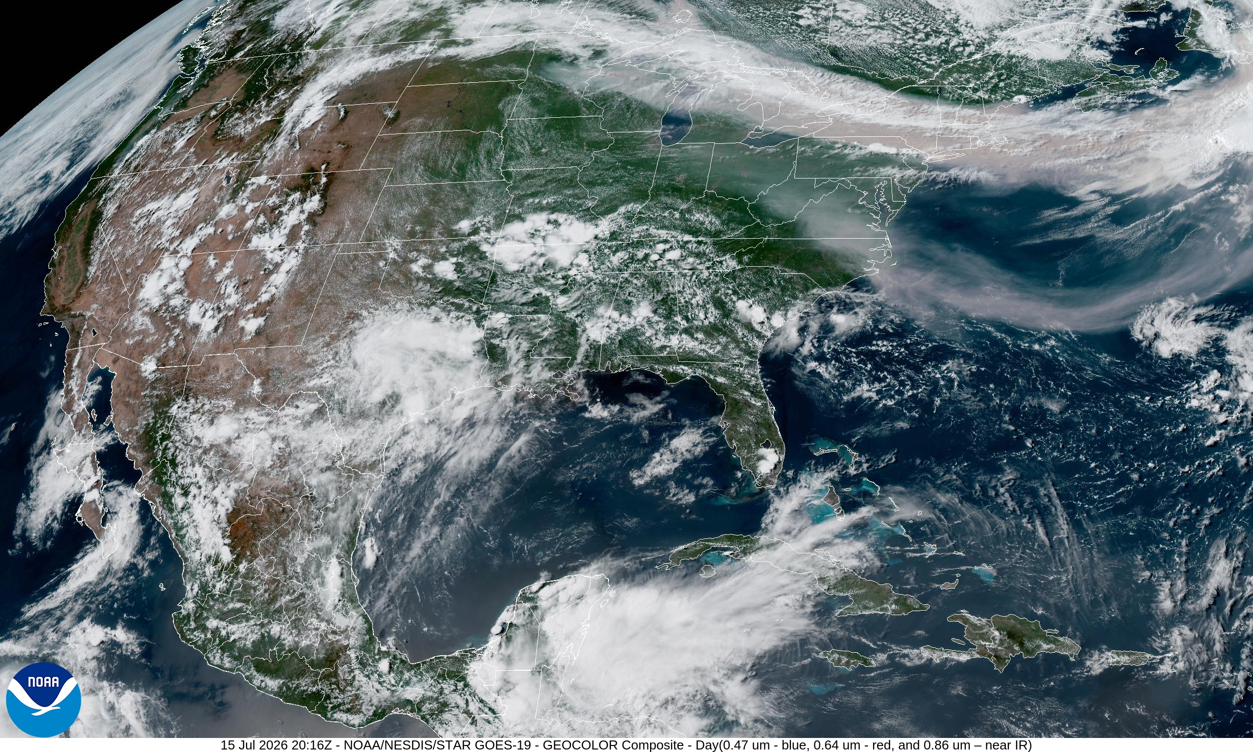
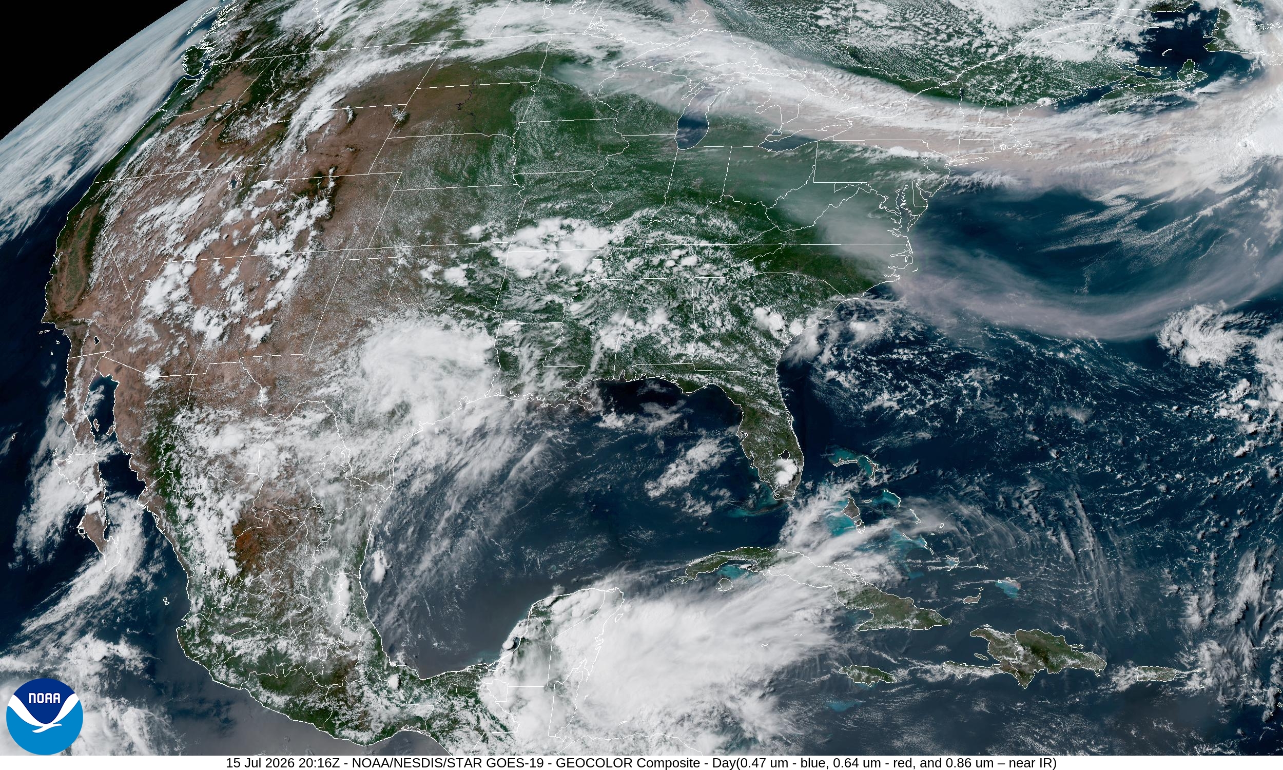
Summary: This GeoColor satellite image provides a high-resolution view of the Continental U.S. (CONUS) captured by the GOES-19 satellite on July 15, 2026.
This image is a GeoColor composite captured by the GOES-19 Advanced Baseline Imager (ABI) on July 15, 2026, at 20:16 UTC. The GeoColor product combines visible and infrared data to provide a true-color representation of the Earth's surface and clouds during the day. The image covers the Continental United States, Mexico, and parts of the Caribbean, showcasing current cloud cover and geographical features.
Document outline
1. Satellite Imagery Overview 2. Technical Specifications 3. Data Source and Attribution 4. Image Context and Date
