Latest Satellite Imagery
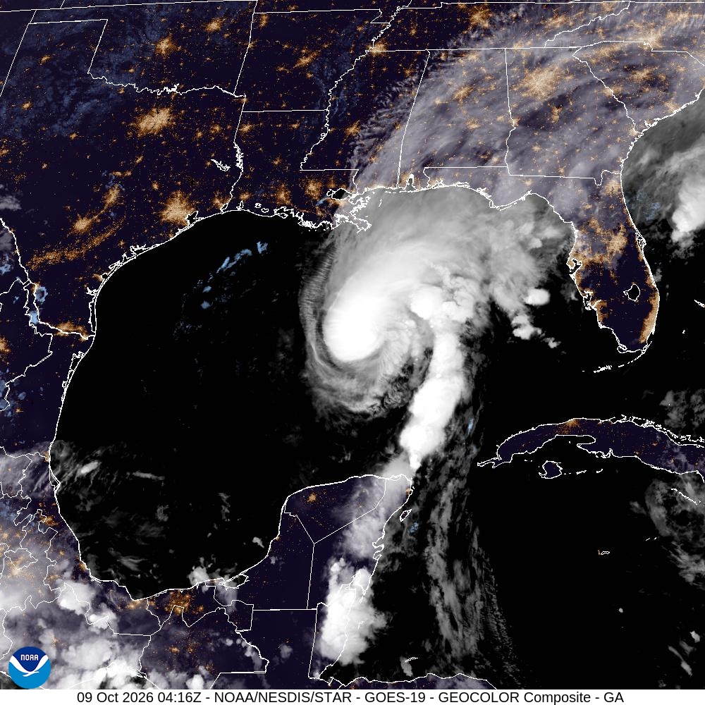
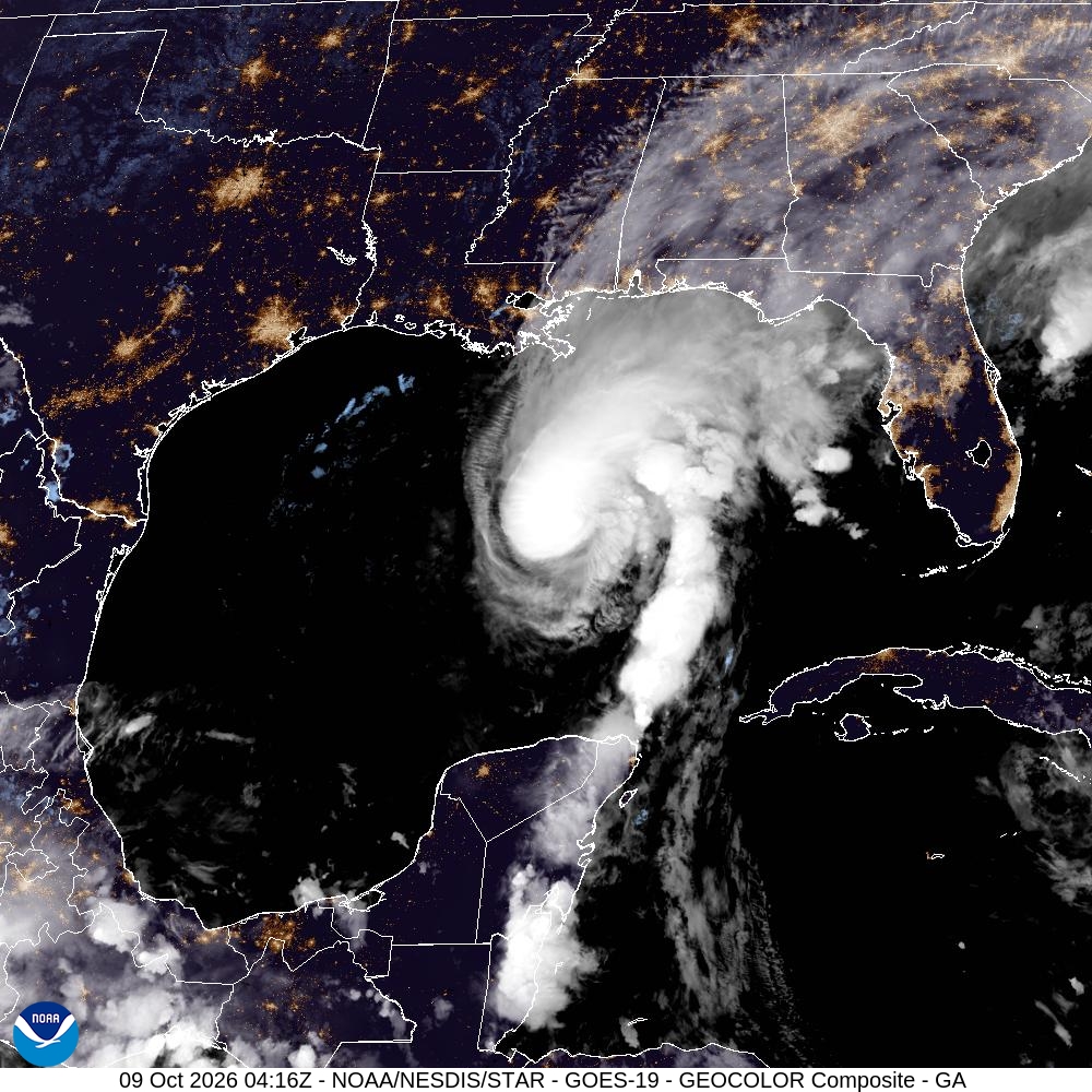
Summary: A GOES-19 GeoColor satellite image of the Gulf of America region captured on October 9, 2026.
This satellite image, captured by the GOES-19 satellite at 04:16Z on October 9, 2026, displays a GeoColor composite view of the Gulf of America. The imagery highlights cloud formations and weather systems over the Gulf, the southeastern United States, and parts of the Caribbean, with nighttime city lights visible on the landmasses.
Document outline
1. Satellite Image Overview: GOES-19 GeoColor 2. Geographic Coverage: Gulf of America Sector 3. Timestamp: October 9, 2026, 04:16Z 4. Technical Specifications: 1000x1000 JPEG 5. Source: NOAA/NESDIS STAR
