Latest Satellite Imagery
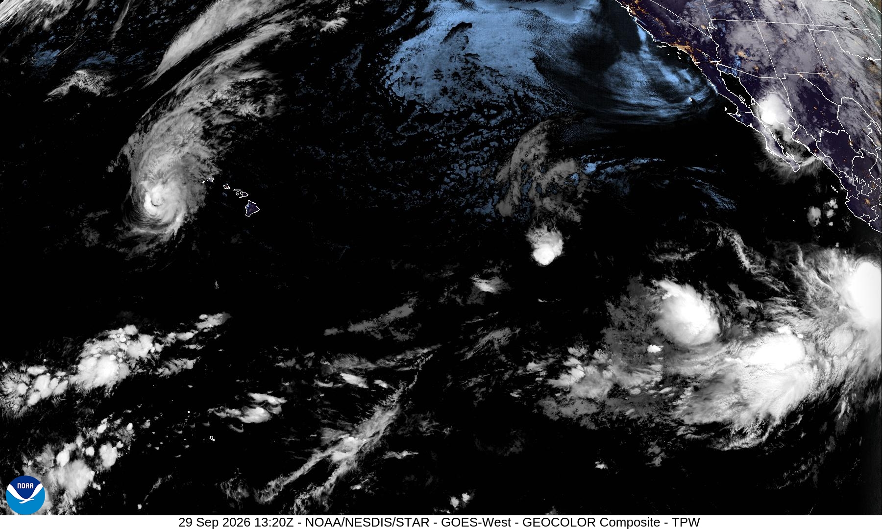
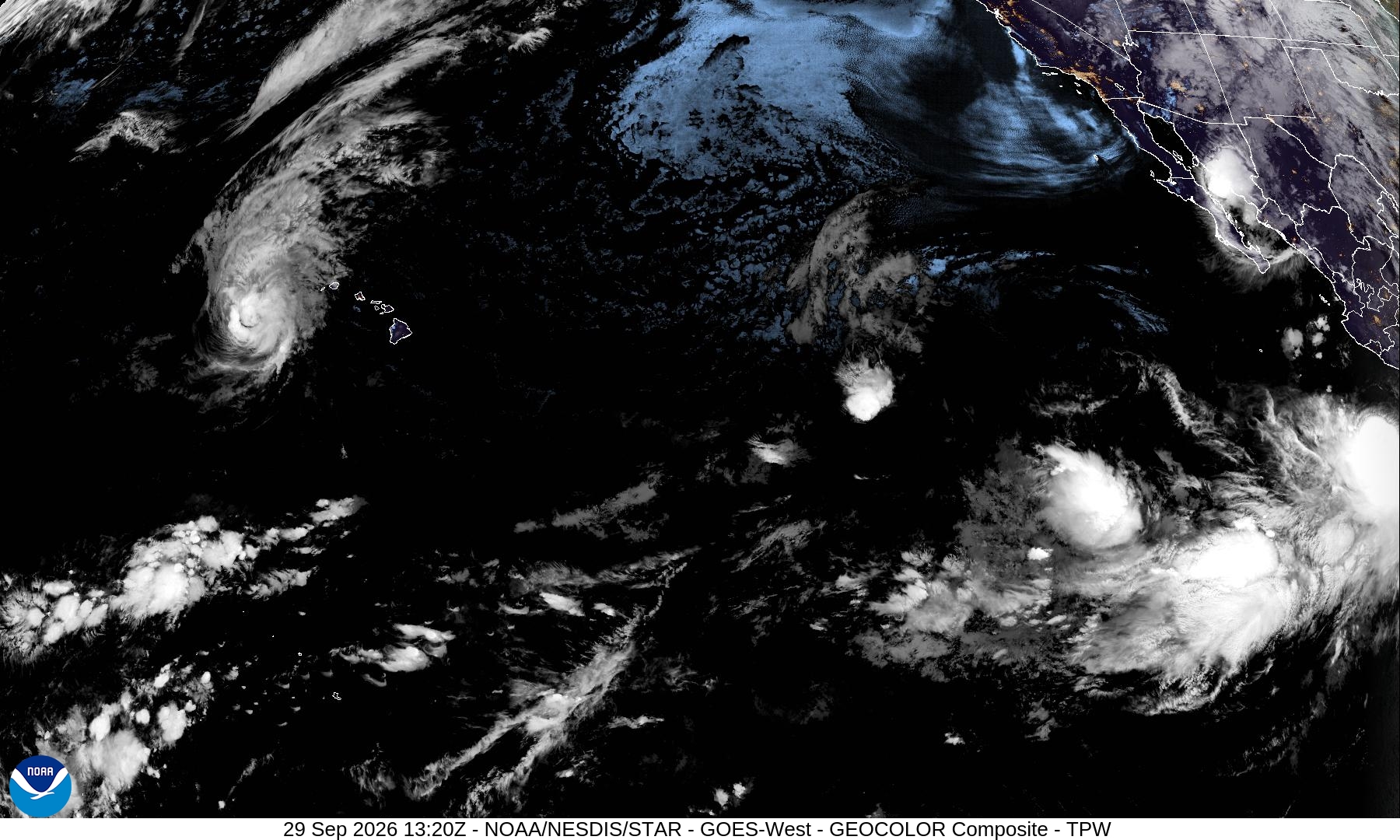
Summary: A GOES-West GeoColor satellite image from September 29, 2026, displaying cloud formations and tropical weather systems across the Pacific Ocean.
This GeoColor composite image, captured by the GOES-West satellite on September 29, 2026, at 13:20Z, provides a wide-angle view of the Pacific sector. The imagery highlights various cloud formations, including a distinct tropical system west of the Hawaiian Islands and additional convective activity in the eastern Pacific. The image includes geographic overlays for the Hawaiian Islands and the North American coastline.
Document outline
1. Satellite Image Overview: GOES-West GeoColor Composite 2. Timestamp: 29 Sep 2026 13:20Z 3. Geographic Coverage: Pacific Sector 4. Key Features: Tropical cloud systems, Hawaiian Islands, North American coastline 5. Technical Metadata: 1800x1080 resolution, JPEG format
