Latest Satellite Imagery
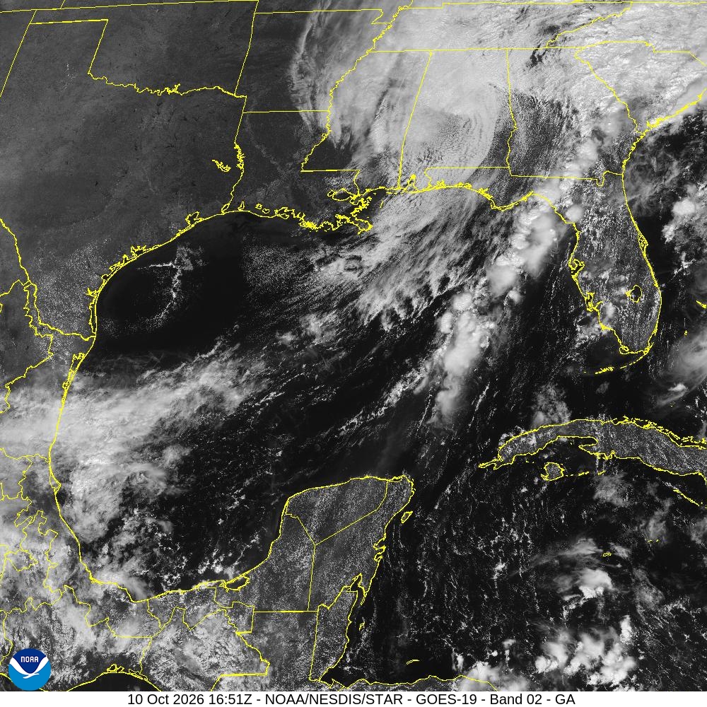
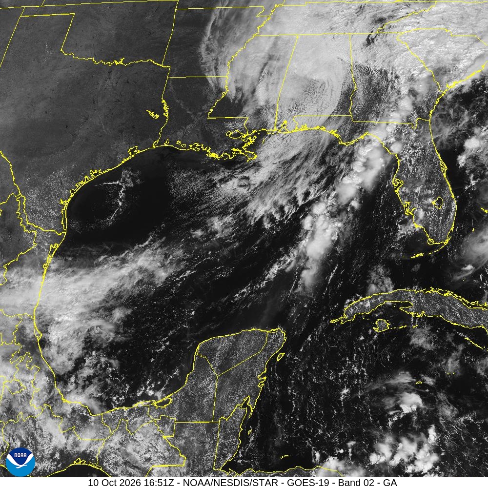
Summary: A high-resolution visible satellite image of the Gulf of America region captured by the GOES-19 satellite on October 10, 2026.
This satellite image, provided by the National Hurricane Center via NOAA/NESDIS/STAR, displays a visible spectrum view (Band 02) of the Gulf of America. The image, captured on October 10, 2026, at 16:51Z, features overlaid yellow political boundaries for the United States, Mexico, and surrounding regions, providing a clear view of cloud cover and weather patterns over the Gulf of Mexico and the southeastern United States.
Document outline
1. Satellite Image Overview: GOES-19 Band 02 2. Region: Gulf of America (GA) 3. Timestamp: 10 Oct 2026 16:51Z 4. Data Source: NOAA/NESDIS/STAR 5. Technical Specifications: 1000x1000 JPEG, Visible Spectrum
