Latest Satellite Imagery
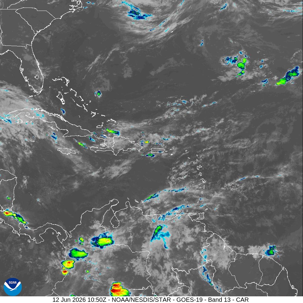
Summary: A GOES-19 satellite image of the Caribbean region captured on June 12, 2026, at 10:50Z.
This satellite image, sourced from the National Hurricane Center's latest imagery feed, displays a view of the Caribbean sector. The image uses GOES-19 Band 13 infrared data to visualize cloud cover and atmospheric conditions across the region, including parts of the southeastern United States, the Caribbean islands, and northern South America. The timestamp indicates the capture occurred on June 12, 2026, at 10:50Z.
Document outline
1. Satellite Image Overview 2. Geographic Coverage: Caribbean Sector 3. Technical Specifications: GOES-19 Band 13 4. Timestamp: 12 Jun 2026 10:50Z 5. Source: NOAA/NESDIS/STAR
