Latest Satellite Imagery
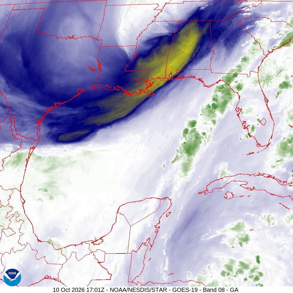
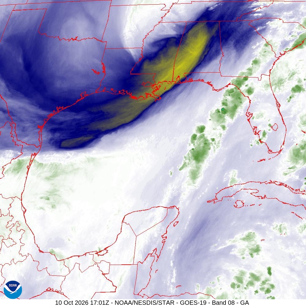
Summary: A GOES-19 satellite water vapor image (Band 08) of the Gulf of America region, captured on October 10, 2026.
This satellite image, captured by the GOES-19 satellite on October 10, 2026, at 17:01 UTC, displays water vapor data (Band 08) for the Gulf of America sector. The imagery highlights atmospheric moisture patterns, with red overlays indicating regional political boundaries. This data is part of the NOAA/NESDIS/STAR satellite monitoring program used for meteorological analysis.
Document outline
1. Satellite Image Metadata: GOES-19 Band 08 2. Region: Gulf of America 3. Timestamp: 10 Oct 2026 17:01Z 4. Data Source: NOAA/NESDIS/STAR 5. Image Characteristics: 1000x1000 resolution, Water Vapor enhancement
