Latest Satellite Imagery
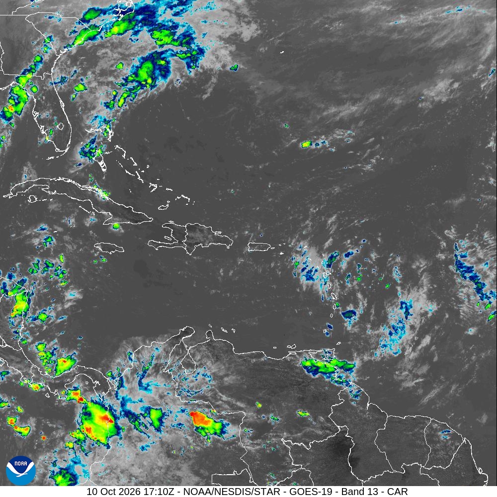
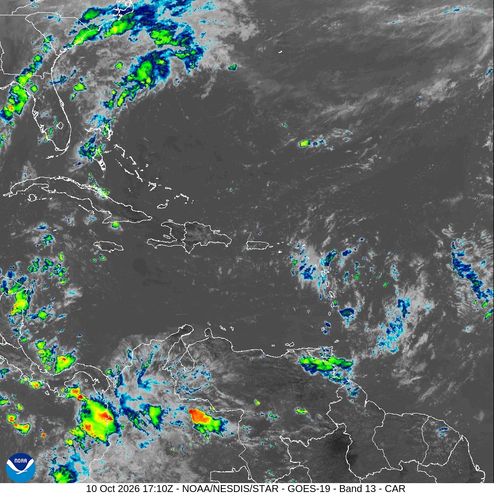
Summary: A GOES-19 satellite image of the Caribbean sector captured on October 10, 2026, at 17:10 UTC.
This satellite image, captured by the GOES-19 satellite on October 10, 2026, at 17:10 UTC, displays the Caribbean sector using Band 13 infrared data. The image provides a view of cloud formations, storm activity, and atmospheric conditions across the Caribbean Sea, parts of the Gulf of Mexico, and northern South America. It is part of the official satellite monitoring products provided by the National Hurricane Center and NOAA/NESDIS.
Document outline
1. Satellite Image Overview (GOES-19, Band 13) 2. Geographic Coverage: Caribbean Sector 3. Timestamp: October 10, 2026, 17:10 UTC 4. Data Source: NOAA/NESDIS STAR 5. Technical Specifications: 1000x1000 JPEG
