Latest Satellite Imagery
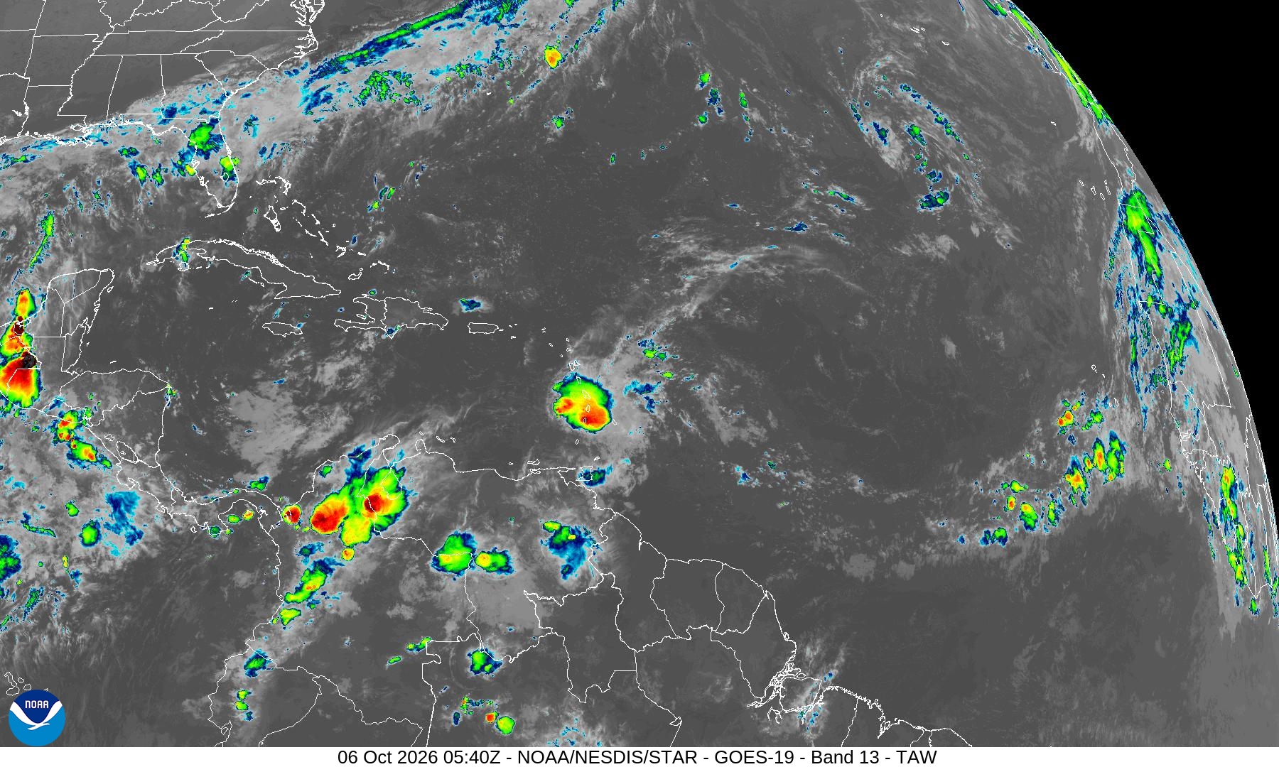
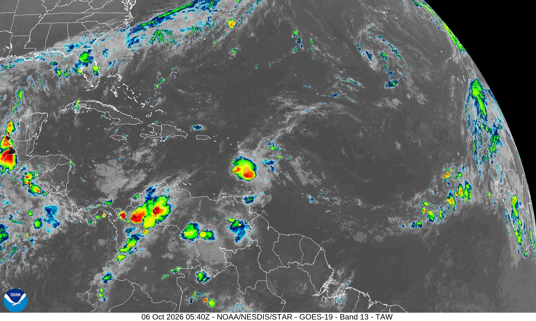
Summary: This GOES-19 satellite image provides a wide-view infrared perspective of the Tropical Atlantic, capturing regional cloud cover and convective activity.
This high-resolution satellite image, captured by the GOES-19 satellite on October 6, 2026, at 05:40Z, displays the Tropical Atlantic Wide (TAW) sector. The image utilizes Band 13 infrared data to visualize cloud top temperatures, with warmer colors indicating more intense convective activity. It provides a comprehensive view of weather systems across the Caribbean, Central America, and the northern coast of South America, serving as a critical tool for monitoring tropical weather developments.
Document outline
1. Satellite Image Overview: GOES-19 TAW Sector 2. Technical Metadata 3. Date and Time: 06 Oct 2026 05:40Z 4. Sensor: GOES-19 ABI Band 13 5. Geographic Coverage: Tropical Atlantic Wide (TAW) 6. Image Characteristics: Infrared (IR) enhancement for cloud top temperature analysis
