Latest Satellite Imagery
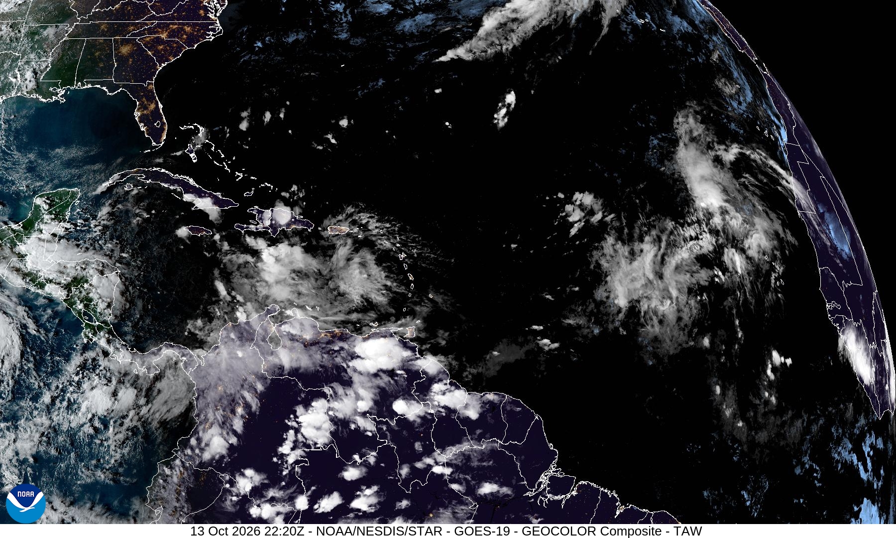
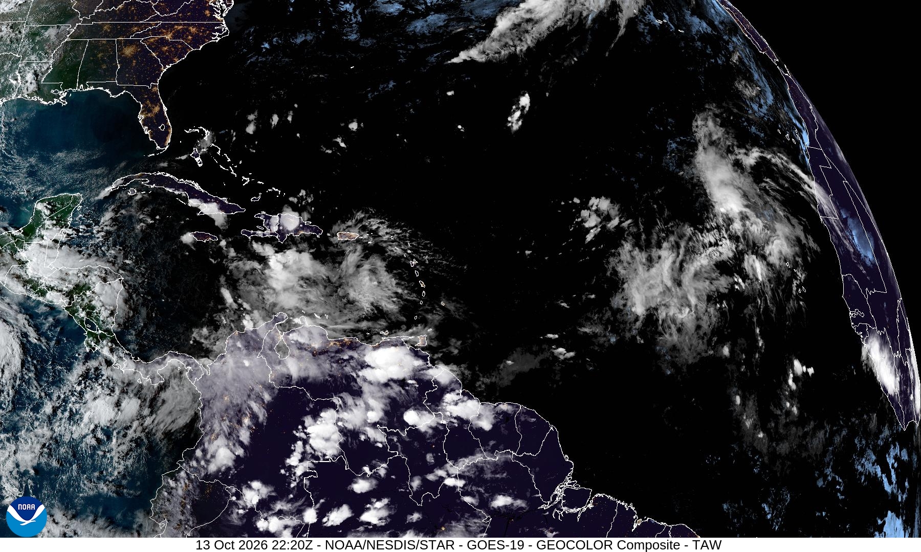
Summary: This image is a real-time GeoColor satellite composite of the Tropical Atlantic and Caribbean, captured by the GOES-19 satellite on October 13, 2026.
This high-resolution (1800x1080) GeoColor satellite image provides a current view of the Tropical Atlantic and Caribbean (TAW) sector. Captured by the GOES-19 satellite on October 13, 2026, at 22:20Z, the image displays cloud cover, atmospheric patterns, and landmasses using NOAA's GeoColor enhancement, which combines multispectral data to provide a natural-looking view of the Earth's surface and atmosphere.
Document outline
1. Overview of GOES-19 GeoColor Satellite Imagery 2. Technical Specifications 3. Geographic Coverage: Tropical Atlantic and Caribbean (TAW) 4. Data Source: NOAA/NESDIS STAR 5. Timestamp: 13 Oct 2026 22:20Z
