Latest Satellite Imagery
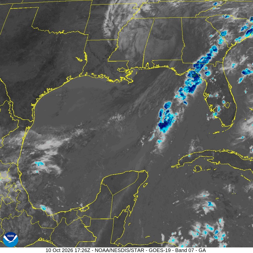
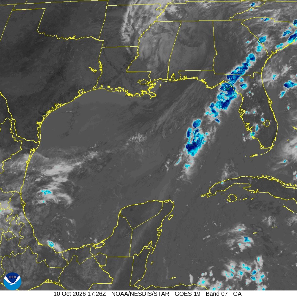
Summary: A GOES-19 satellite image of the Gulf of America sector captured on October 10, 2026, using Band 07.
This satellite image, captured by the GOES-19 satellite on October 10, 2026, at 17:26Z, displays the Gulf of America sector. The image utilizes Band 07 (Shortwave Infrared) to visualize cloud cover and atmospheric conditions over the Gulf of Mexico, the southeastern United States, and the Caribbean. The data is provided by the NOAA/NESDIS/STAR satellite operations program.
Document outline
1. Satellite Image Overview 2. Geographic Coverage: Gulf of America Sector 3. Technical Specifications: GOES-19 Band 07 4. Timestamp: 10 Oct 2026 17:26Z 5. Data Source: NOAA/NESDIS/STAR
